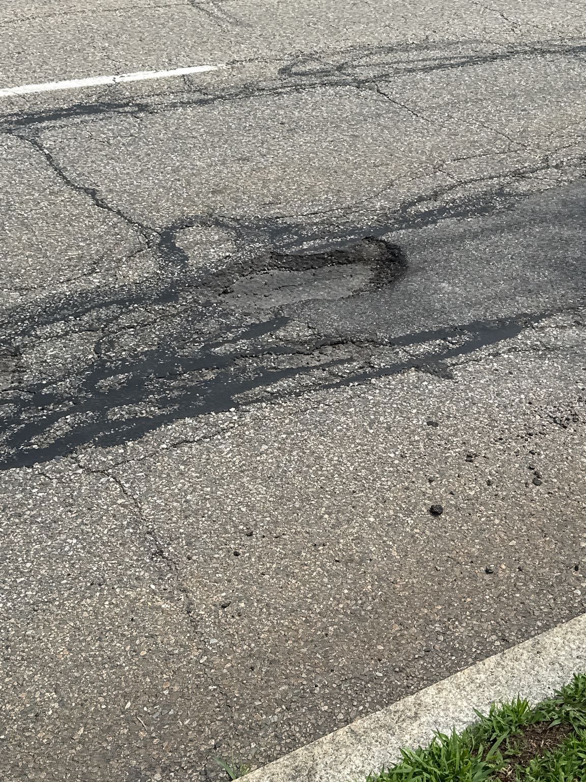
Pothole at 219 Grove St, Chestnut Hill
Submitted Fri Jul 11, 2025
Location on Street: Roadway
Nearest Cross Street: Wallis road
address: 219 Grove St, Chestnut Hill
coordinates x,y: 750050.776502916, 2935284.3723329343
coordinates lat,lng: 42.3020458056749, -71.15294996343226
| Timestamp | Description |
|---|---|
| Fri Jul 11, 2025 03:22pm |
Submitted via iPhone |